Waypoints
We have been asked by several hikers about the abbreviations used for waypoint names on Halfmile Project PCT maps, apps, GPS data, and Google Earth files. Here is a list of the most common abbreviations:
BB — Bear box or bear locker (mostly in the Sierra)
CG — Campground
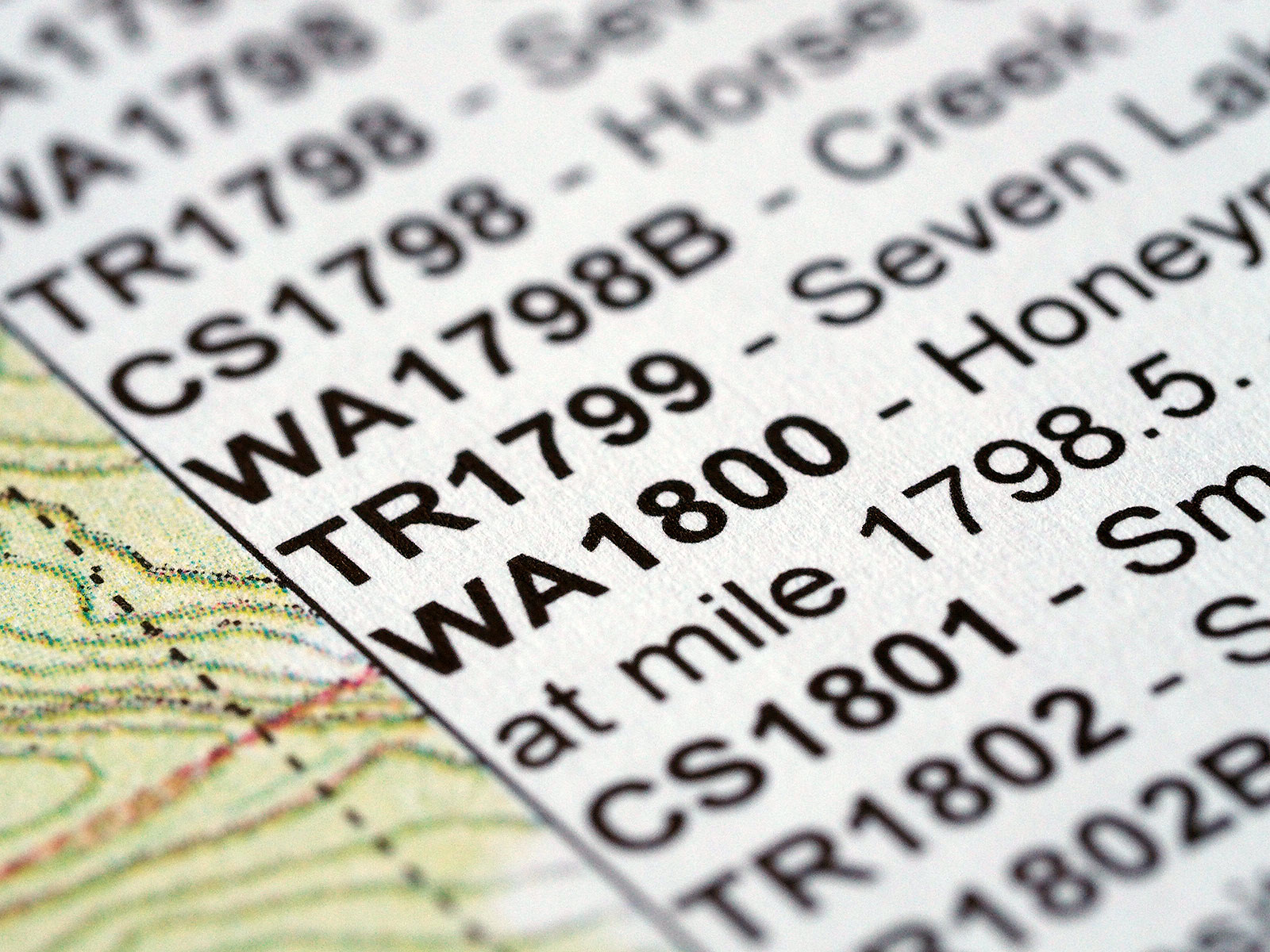
CS — Campsite
GT — Gate
JMT — John Muir Trail
Hwy — Highway crossing
NF — National Forest boundary
TH — Trailhead
TR — Trail
PL — Powerline
PO — Post Office
RD — Road crossings
RR — Railroad track
Ski — Ski lift
Wild — Wilderness boundary
WA — Possible water source (not on http://www.pctwater.com, mostly north of mile 700)
WR — Possible water source listed in the PCT Water Report at http://www.pctwater.com
WACS — Possible water source and campsite
WRCS — Possible water source from the Water Report and campsite
Curious which waypoint types are most commonly used? Here is a list from the new 2015 Halfmile Project data:
3161 — total number of 2015 waypoints
972 — WA waypoints
745 — CS waypoints
498 — TR waypoints
466 — RD waypoints
152 — WR waypoints
73 — GT waypoints
61 — Hwy waypoints
54 — PL waypoints
33 — Wild waypoints
21 — CG waypoints
16 — BB waypoints
12 — TH waypoints
8 — PO waypoints
6 — NF waypoints
6 — Ski waypoints
