Category Archives: Maps

2018 Pacific Crest Trail Map Updates

Pacific Crest Trail Maps, updated for 2018.

Halfmile’s Pacific Crest Trail maps have been updated for the 2018 hiking season.

The biggest changes for 2018 are in California Section M (in Northern California), where after several years of work, approximately 4.4 miles of old trail was replaced with 6.9 miles of new trail. This reroute increased the length of the PCT by 2.5 miles. The new route and mileages are shown on the new 2018 maps. Because of this, the Pacific Crest Trail is now 2.5 miles longer and the mileages north of PCT mile 1203 have increased by 2.5 miles. Mileage south of mile 1203 remain unchanged.

Elevation profile pages have been improved for 2018 by squeezing more waypoints on the elevation charts.

Halfmile’s Trail Notes have been updated for 2018 with the new mileage and now are available online.

2018 Halfmile GPS and Google Earth files will be available in the next few days.

The free Halfmile smartphone app will hopefully be updated in about a month. The app should auto update on your phone when a new version is available.

Check the Halfmile What’s New Page and the Corrections and Updates Page for the latest information and corrections.

-Halfmile


Halfmile PCT Maps Updated for 2017

2017_graphic

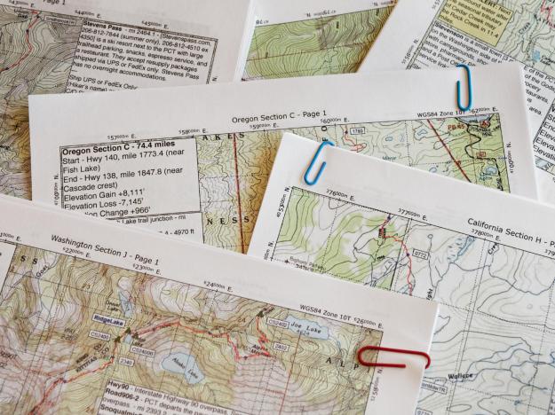
Halfmile’s Pacific Crest Trail maps have been updated with the latest trail information for 2017. Maps optimized for printing can be downloaded here, maps optimized for viewing on mobile devices can be downloaded here. for Here is a list of changes:

CA Section A
p1, updated copyright date so first page of maps show 2017 year
p13, updated Warner Springs info

CA Section B

p1, updated Warner Springs info
p5, update note about Mountain Fire Closure
p11, removed trail angels Ziggy and the Bear. They have closed.

CA Section D

P 3 — added location of 1983 winter transit memorial stone, at the base of two “V” trees facing away from the trail. Jodi Zaitchick and Jerry Duran died in a December 1983 fall 363 miles into the first known winter thru-hike attempt.

CA Section E

p13, corrected name of waypoint GT0563 (mistakenly labeled GT0503)

CA Sec M
p11, corrected WA1277, trail sign identifies WA1277 as Brecken Fern Spring (not Grouse Spring).

CA Section N
p 9, added note about new Lassen NP bear canister requirement, added note about Lassen NP camping restrictions from miles 1346 – 1350.
P 10, added note about Lassen NP camping restrictions from miles 1346 – 1350.
P12, added note about new Lassen NP bear canister requirement, added note about Lassen NP camping restrictions from miles 1346 – 1350.
p19, added suggestion for hitching to Burney 1/10 mile at Hwy 299 & Cassel Rd instead of PCT crossing; added info about Burney Mountain Guest Ranch.

CA Section P

p13, added info about the Hikers Hut in Etna

OR Section B

p5, Klum Landing Park changed from WA1748 changed to WACS1748, shower info updated (they are free, no longer coin operated)

OR Section D
p6, added note about water at Windigo Lake 2/10 mile E of mile 1876.5

WA Section H

p2, added note about snow, late season weather
p6, CS2186 has been decommissioned
p8, WA2206 changed to WACS2206
p10, WA2219 changed to WACS2219, description updated
p11, added missing waypoint RD2227; corrected description of RD2221, it’s Paved Forest Road 88 at Grand Meadows Trailhead (not Road 68).
p13, corrected typo in waypoint WA2242

WA Section I

p1, added note about snow, late season weather
p14, ; updated resupply info

WA Section J
p1, added note about snow, late season weather; updated resupply info
p4, TR2432 corrected, trail is for Deer Lake not Deep Lake

WA Section K
p1, added note about snow, late season weather; fixed missing waypoint information
p16, updated information about Mazama trail angel Ravensong

WA Section L
p1, added note about snow, late season weather; updated information about Mazama trail angel Ravensong

Tracking Hikers With Google Earth

Entering the latitude and longitude from a Delorme inReach satellite message in Google Earth with Halfmile data.

Entering the latitude and longitude from a Delorme inReach satellite message in Google Earth with Halfmile data.

Many Pacific Crest Trail hikers are using satellite messaging devices like the Delorme inReach or SPOT Messenger to communicate with friends and family. Using Halfmile Project data from PCTMap.net and Google Earth can make these messages easier to understand for your followers back home.

Halfmile data is available in several different forms — and the data matches exactly, no matter which form you are using. The data is available as follows:

  • Printable PCT maps
  • Android or iPhone Apps
  • Google Earth KML files
  • GPX files for loading into a GPS or third party Smartphone GPS app
  • Trail Notes

A Halfmile point on the printable maps is the same in Google Earth or the Halfmile smartphone apps. If a satellite messenger sends latitude and longitude coordinates, these can easily be viewed by friends back home in Google Earth or simulated in the Halfmile smartphone app.

Here are the steps to follow a hiker using a satellite message and Google Earth with Halfmile data:

    1. Download and install Google Earth.
    2. Download the Halfmile Google Earth KMZ file.
    3. Open the Halfmile KMZ file in Google Earth and save it to “My Places.”
    4. Expand the satellite message and note the latitude and longitude [see screen capture above].
    5. Enter the latitude and longitude in the Google Earth Search field [see screen capture above] and select the “Search” button.
    6. Google Earth will zoom to the location and show a marker [usually a pushpin] at your hiker’s location.
    7. If you have followed the steps correctly, the path of the Pacific Crest Trail and Halfmile waypoints will also be shown in Google Earth. It will be easy to see the location of your hiker in relation to these landmarks. In the screen capture above, the hiker is at a waypoint named WA2658, between PCT miles 2658 and 2658.5. You may need to expand the Google Earth “Time Sliders” to see all of the Halfmile waypoints.

Halfmile data is updated each year, usually in January. For constancy, use the latest data. If you are using 2015 Halfmile maps, be sure to use the 2015 Google Earth or 2015 GPX files. If you are using other PCT information sources, the mileages may not match exactly.

Note: A version of this blog post first appeared on the HalfmileProject.org bog.

Check Out the New Elevation Profiles!

forester_elevation_profile

Halfmile’s Pacific Crest Trail maps have been updated for 2015 and they include cool new elevation profiles created by programmer Tom “66” Reid.

Colors used on FAA charts.

Colors used on FAA charts.

The new elevation profiles feature color coding in the style of FAA Aeronautical Charts, improved formatting to show more waypoints, and mileage that matches the 2015 Halfmile PCT mileage estimates.

Information on the elevation profiles includes:

  • Page numbers to identify which PCT map pages are covered.
  • Black dots for every half mile of trail.
  • Red dots marking individual waypoints along the PCT.
  • PCT mileage from the Mexican border every two miles.
  • Elevation gain/loss is estimated (see the red circle above) for every two mile section of PCT.

The new elevation profiles are included with each section of PCT maps, or just the new elevation profiles for California can be downloaded here, or Oregon/Washington profiles can be downloaded here. Since PCT mileage estimates have changed for 2015, be sure not to mix and match 2014 and 2015 version of PCT maps, apps, or GPS data.