Category Archives: GPS Data

Tracking Hikers With Google Earth

Entering the latitude and longitude from a Delorme inReach satellite message in Google Earth with Halfmile data.

Entering the latitude and longitude from a Delorme inReach satellite message in Google Earth with Halfmile data.

Many Pacific Crest Trail hikers are using satellite messaging devices like the Delorme inReach or SPOT Messenger to communicate with friends and family. Using Halfmile Project data from PCTMap.net and Google Earth can make these messages easier to understand for your followers back home.

Halfmile data is available in several different forms — and the data matches exactly, no matter which form you are using. The data is available as follows:

  • Printable PCT maps
  • Android or iPhone Apps
  • Google Earth KML files
  • GPX files for loading into a GPS or third party Smartphone GPS app
  • Trail Notes

A Halfmile point on the printable maps is the same in Google Earth or the Halfmile smartphone apps. If a satellite messenger sends latitude and longitude coordinates, these can easily be viewed by friends back home in Google Earth or simulated in the Halfmile smartphone app.

Here are the steps to follow a hiker using a satellite message and Google Earth with Halfmile data:

    1. Download and install Google Earth.
    2. Download the Halfmile Google Earth KMZ file.
    3. Open the Halfmile KMZ file in Google Earth and save it to “My Places.”
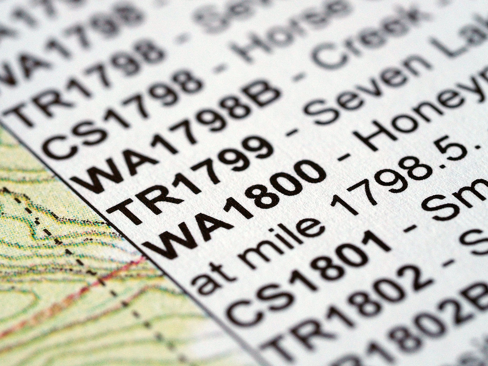
    4. Expand the satellite message and note the latitude and longitude [see screen capture above].
    5. Enter the latitude and longitude in the Google Earth Search field [see screen capture above] and select the “Search” button.
    6. Google Earth will zoom to the location and show a marker [usually a pushpin] at your hiker’s location.
    7. If you have followed the steps correctly, the path of the Pacific Crest Trail and Halfmile waypoints will also be shown in Google Earth. It will be easy to see the location of your hiker in relation to these landmarks. In the screen capture above, the hiker is at a waypoint named WA2658, between PCT miles 2658 and 2658.5. You may need to expand the Google Earth “Time Sliders” to see all of the Halfmile waypoints.

Halfmile data is updated each year, usually in January. For constancy, use the latest data. If you are using 2015 Halfmile maps, be sure to use the 2015 Google Earth or 2015 GPX files. If you are using other PCT information sources, the mileages may not match exactly.

Note: A version of this blog post first appeared on the HalfmileProject.org bog.

Waypoint Abbreviations

Waypoints

Waypoints

We have been asked by several hikers about the abbreviations used for waypoint names on Halfmile Project PCT maps, apps, GPS data, and Google Earth files. Here is a list of the most common abbreviations:

BB — Bear box or bear locker (mostly in the Sierra)
CG — Campground
CS — Campsite
GT — Gate
JMT — John Muir Trail
Hwy — Highway crossing
NF — National Forest boundary
TH — Trailhead
TR — Trail
PL — Powerline
PO — Post Office
RD — Road crossings
RR — Railroad track
Ski — Ski lift
Wild — Wilderness boundary
WA — Possible water source (not on http://www.pctwater.com, mostly north of mile 700)
WR — Possible water source listed in the PCT Water Report at http://www.pctwater.com
WACS — Possible water source and campsite
WRCS — Possible water source from the Water Report and campsite

Curious which waypoint types are most commonly used? Here is a list from the new 2015 Halfmile Project data:

3161 — total number of 2015 waypoints
972 — WA waypoints
745 — CS waypoints
498 — TR waypoints
466 — RD waypoints
152 — WR waypoints
73 — GT waypoints
61 — Hwy waypoints
54 — PL waypoints
33 — Wild waypoints
21 — CG waypoints
16 — BB waypoints
12 — TH waypoints
8 — PO waypoints
6 — NF waypoints
6 — Ski waypoints

About the 2015 Halfmile Updates

Updating maps for 2015

Updating maps for 2015

The 2015 Pacific Crest Trail hiking season is rapidly approaching and understandably we have been getting questions about what’s changing in the 2015 edition of Halfmile’s PCT maps and when new maps, apps and GPS data will be ready.

2014 was a massive data collection effort for the Halfmile Project team. Halfmile and Dirt Stew thru-hiked the PCT (Halfmile northbound, Dirt Stew southbound) carrying very accurate custom GPS devices designed for mapping long hiking trails. 8,296,179 new data sample points and 5,065 new waypoints were collected.

GPS reception can be challenging along some parts of the PCT due to tree cover or terrain such as mountains or canyons that sometimes block GPS signals. This is especially true in Oregon and Washington. The custom GPS logging hardware performed amazingly well because of the outstanding performance of the ublox NEO-7P GPS module, external mast mounted antennas, and the merging of multiple GPS data sets using software developed by David Lippke. We are confidant this is the most accurate data ever collected of the PCT.

Overall the new 2015 data has an average horizontal accuracy of 1.9 meters. Here is the horizontal accuracy by PCT section:

CA Sec A: 0.67 meters
CA Sec B: 1.26 meters
CA Sec C: 1.11 meters
CA Sec D: 1.19 meters
CA Sec E: 0.81 meters
CA Sec F: 0.98 meters
CA Sec G: 1.18 meters
CA Sec H: 1.44 meters
CA Sec I: 1.62 meters
CA Sec J: 1.51 meters
CA Sec K: 1.61 meters
CA Sec L: 0.49 meters
CA Sec M: 0.57 meters
CA Sec N: 0.46 meters
CA Sec O: 0.68 meters
CA Sec P: 1.92 meters
CA Sec Q: 2.37 meters
CA Sec R: 2.19 meters
OR Sec B: 2.66 meters
OR Sec C: 2.49 meters
OR Sec D: 2.57 meters
OR Sec E: 2.32 meters
OR Sec F: 2.45 meters
OR Sec G: 3.78 meters
WA Sec H: 3.45 meters
WA Sec I: 2.94 meters
WA Sec J: 1.75 meters
WA Sec K: 3.34 meters
WA Sec L: 2.42 meters
Continue reading